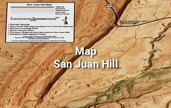
Click to view a PDF File of each map available for download. Google Earth kmz Files are located below for downloading.
kmz Files
These provide details for exploring the trail from one’s armchair or in the field. See “kmz Instructions” below.
Two versions of the kmz files can be downloaded, one with numerous trail images (click on waypoints to see them) and one without images. The versions with images have large file sizes. Give time for them to download. The kmz files with no images have small file sizes and are ideal for loading into GPS mapping device/applications.
Google Earth kmz Instructions
To use the kmz files, you need the Google Earth application on your device or you can use the online version.
Local – Google Earth Application is on your device. If Google Earth is on your device, after downloading the kmz file by clicking on it, locate it on your device and simply click on the kmz file. Google Earth will automatically open and take you to the HIR trail. Zoom in for details. Click on waypoints for images.
Online – Google Earth online @ https://earth.google.com/web can be used if you do not want to load the Google Earth application on your device.
To use the kmz file with the online version of Google Earth, after downloading the kmz file, go to the online version of Google Earth. Click on “New” in the top right corner, select kml files, and then select the kmz file you want to open. Note: kml and kmz files are equivalent. One is uncompressed and one is compressed.
Google Earth Background Terrain Years – compare default with 2015
The current Google Earth terrain images are not always the best quality / resolution for a given area. The 2015 images may be superior for the Hole-in-the-Rock area. Select the Google Earth historical image selection at the top to change the imagery acquisition date.


