Wagon
Cabin
tabtab

Home
The Trail
Bluff Fort
history
The Foundation
Contact Us
Donate


  Site 1, The Escalante Desert
From the established town of Escalante, the San Juan pioneers blazed their route over desert terrain that was initially easily traversed. However, as they neared the Colorado River gorge, the terrain worsened due to numerous deep washes created by water runoff from the Kaiparowits Plateau. Their path was principally  determined by the location of watering holes/springs which were necessary to sustain their teams and livestock. The images below are from various locations throughout the desert between the town of Escalante and the Colorado River gorge.
 
 
Scroll down to view full gallery.
 
 
Still Images - click to enlarge
 

Escalante Desert about ten miles southeast of the town of Escalante, Utah. Lamont Crabtree Photo
Terrain south of Escalante
 
Ten Mile Spring, Lamont Crabtree Photo
Twenty Mile Spring
 
Near the base of the Kaiparowits, about 30 miles southeast of the town of Escalante,Utah. Lamont Crabtree Photo
Terrain near Twenty Mile Spring
 
Trail near Coyote Holes, Lamont Crabtree Photo
Trail south of Coyote Holes
 
 
Trail paralleling the Kaiparowits Plateau. Lamont Crabtree Photo
Trail with Kaiparowits Plateau in background
 
Trail out of Twenty Mile Wash, Lamont Crabtree Photo
Trail out of Twenty Mile Wash
 
Trail near Dance Hall Rock, Lamont Crabtree Photo
Trail approaching Dance Hall Rock
 
Trail exiting one of the deep washes south of Dance Hall Rock, Lamont Crabtree Photo
Trail coming out of a wash
 
 
The desert terrain begins to turn into sandstone as the trail approaches the Colorado River. Lamont Crabtree Photo
Terrain between Fifty Mile Sp. and the Hole
             
Image submittals are welcome! We are particularly interested in photos prior to Lake Powell. Click on "Contact Us" for details.


Home
|The Trail|Bluff Fort|Histories|HIR Foundation|Contact Us|Donate
© Copyright Hole-in-the-Rock Foundation ® 2008


The Hole-in-the-Rock Foundation Preserving the History and Sharing the Legacy


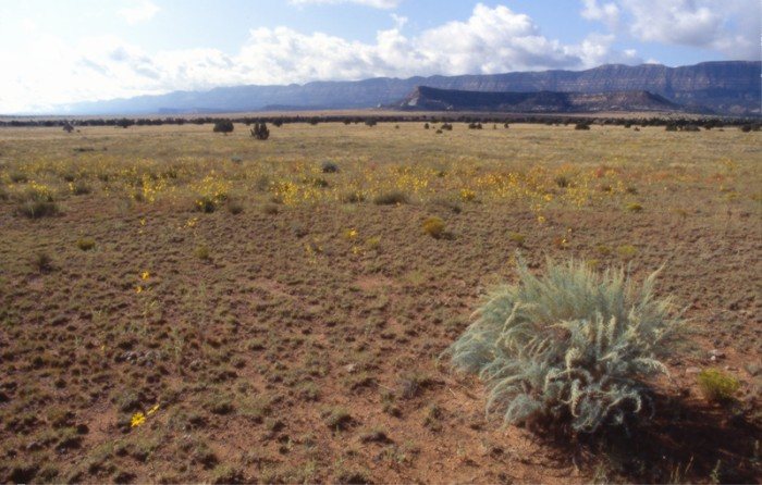
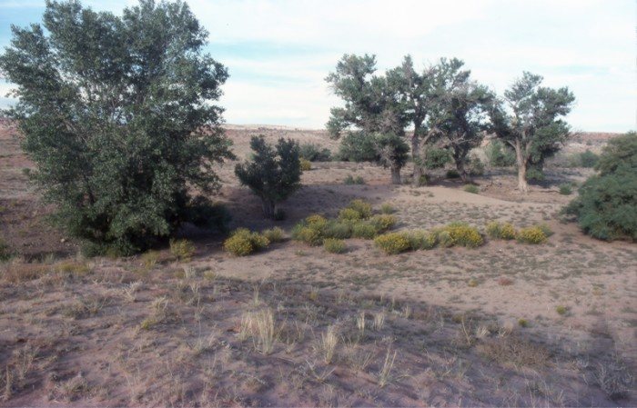
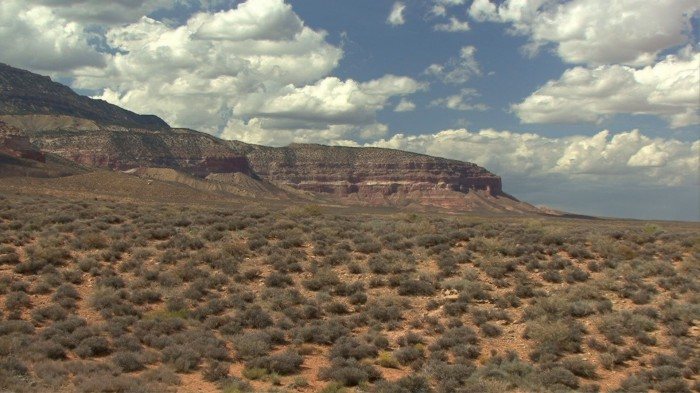
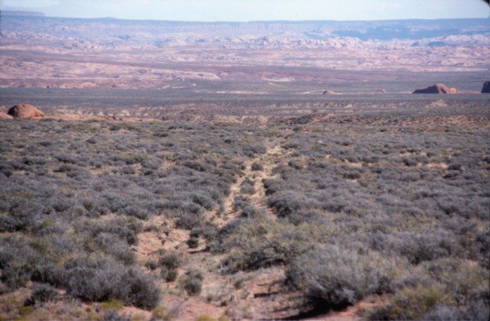
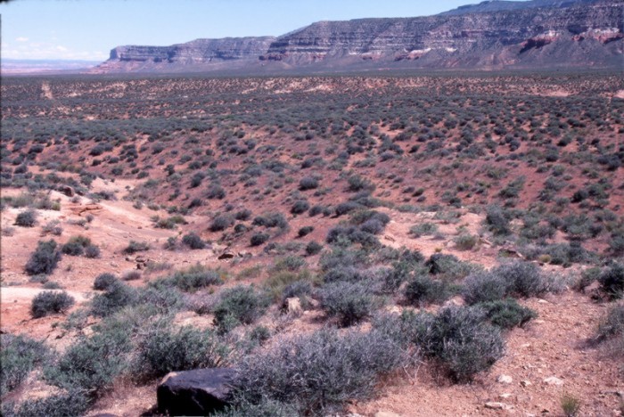
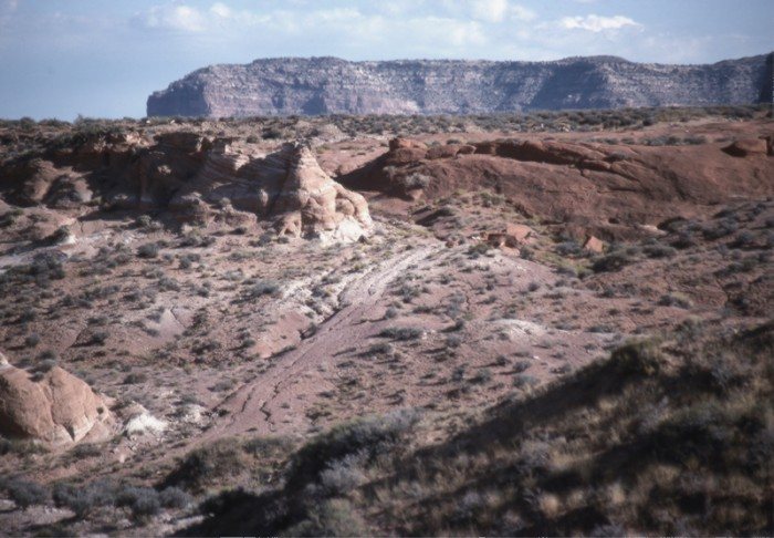
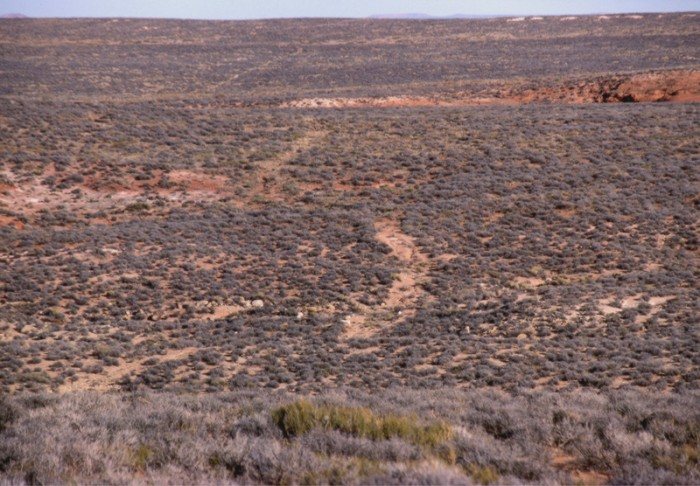
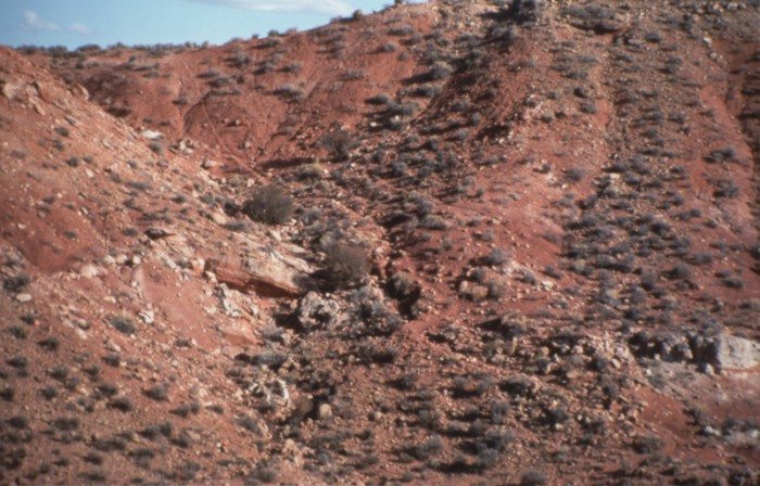
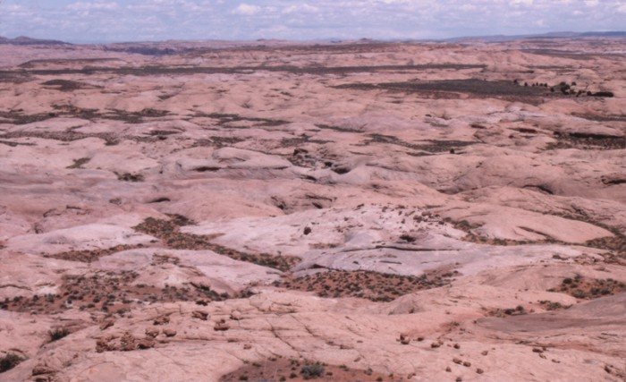
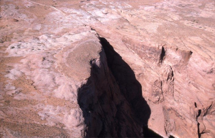
Friday, Nov. 21st, 1879. "Drove 3 miles to the 10 mile spring but could get no water for our horses. Here we sent our stock off the road to the east about 7 miles to the Harris Ranch, because of scarcity of water on the road. Eddy and Alma Stevens will stay with them for the present. We then drove 10 miles over a soft sandy road crossing several deep gulches where we had to double teams, and camped at dark at the 20 mile spring, where there is plenty of good feed but very little water."
Platte D. Lyman