Wagon
Cabin
tabtab

Home
The Trail
Bluff Fort
history
The Foundation
Contact Us
Donate


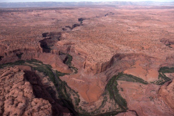
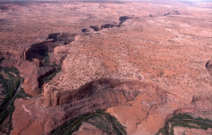
Site 2, The Escalante River
The pioneers’ route east from the town of Escalante followed a desert corridor which was flanked by the towering Kaiparowits Plateau on the south and the Escalante River gorge on the north.  Although the pioneer’s route paralleled the Escalante River, the river was too distant and the surrounding terrain was too rugged for the pioneers to access it for water or grazing. 


Scroll down to view full gallery.
 
Video Clips - click to load viewer
 
Hole-in-the-Rock/River Gorge - winter conditions, Lamont Crabtree Photo
Escalante River gorge
 
 
Still Images - click to enlarge

   
Confluence of Harris Wash and the Escalante River, part of an alternate route established in 1881 which bypassed the Hole-in-the-Rock. Lamont Crabtree Photo
Escalante River gorge left to right with Harris Wash entering from above
 
Escalante River gorge at the bottom; Harris Wash entering above from the left. Lamont Crabtree Photo
Escalante River with Harris Wash tributary
   
               
Image submittals are welcome! We are particularly interested in photos prior to Lake Powell. Click on "Contact Us" for details.


Home
|The Trail|Bluff Fort|Histories|HIR Foundation|Contact Us|Donate
© Copyright Hole-in-the-Rock Foundation ® 2008


The Hole-in-the-Rock Foundation Preserving the History and Sharing the Legacy