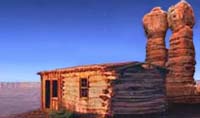
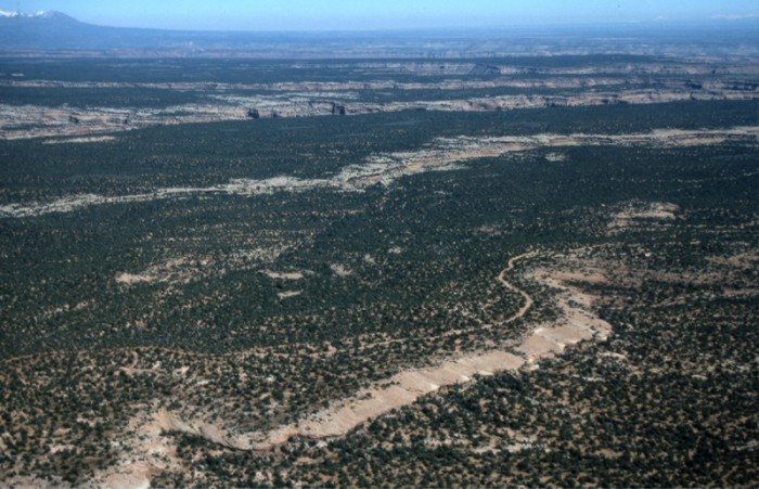
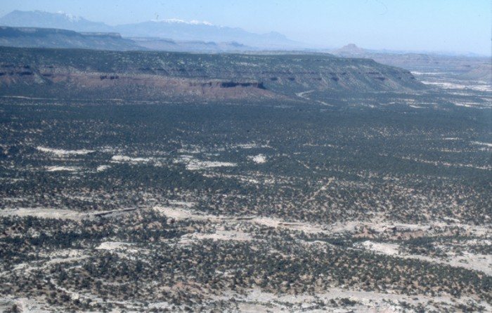
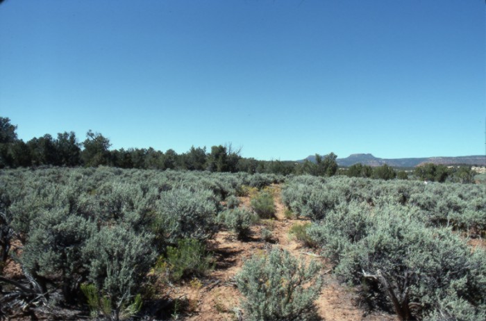
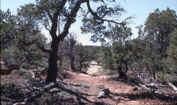
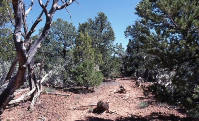
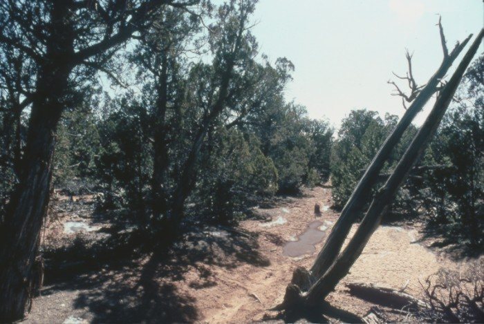
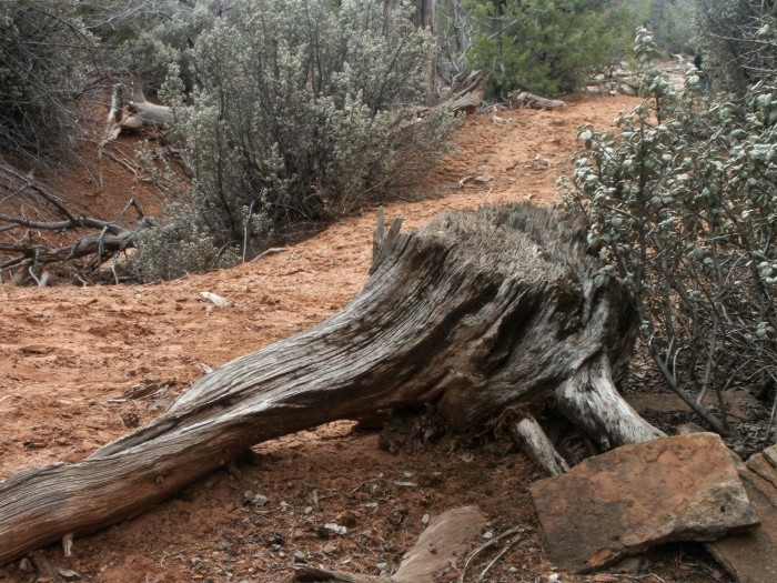
Site 18, The Cedars
Detouring to the higher elevations to the north brought the pioneers to a thick juniper forest, commonly referred to as the Cedars. Here chopping crews advanced ahead of the wagons to chop a 20-mile path. The uneven terrain also required the construction of dugways (rock fill) to bridge paths down/up ridges and washes.
Scroll down to view full gallery.
Video Clips - click to load viewer
The Cedars
Still Images - click to enlarge
Juniper forest path around Grand Gulch
Forested terrain around Grand Gulch
Harmony Flat
Path cut through the forest
Pioneer path - chopped tree stumps
Pioneer path - chopped through the trees
Chopped tree stump along pioneer path
Image submittals are welcome! We are particularly interested in photos prior to Lake Powell. Click on "Contact Us" for details.
The Hole-in-the-Rock Foundation Preserving the History and Sharing the Legacy
Thursday, March 18th, 1880. "Drove 3 miles yesterday, and 6 today and made camp in a sagebrush opening in the cedars which are now very thick all around us. There is a force of men ahead chopping all the time. There is a good deal of snow and mud making the wheeling very heavy. We left one of [the] wagons and a load in it this morning as our teams are getting very weak."
Platte D. Lyman