Wagon
Cabin
tabtab

Home
The Trail
Bluff Fort
history
The Foundation
Contact Us
Donate


Site 24, Bluff
On April 4, 1880, the advanced wagons reached the Bluff Valley. Bluff, Recapture Wash (six miles upstream, and Montezuma Fort (eighteen miles further upstream) were all sites set apart for the mission by scouts the previous year. Due to their exhausted state, combined with their desire to live together, most of the San Juan pioneers remained at Bluff. Upon their arrival, they immediately went to work on an irrigation system, followed by the construction of the Bluff Fort. Due primarily to irrigation challenges caused by the unruly San Juan River, Bluff was destined to remain small; but from their humble beginnings at Bluff, the San Juan pioneers branched out and established other communities such as Blanding and Monticello.


Scroll down to view full gallery.
 
Video Clips - click to load viewer
 
Hole-in-the-Rock/River Gorge - winter conditions, Lamont Crabtree Photo
Bluff
 
 
Still Images - click to enlarge
 

Bluff, Utah -- Aerial of the Bluff Valley 1978, Lamont Crabtree Photo
Aerial - Bluff 1978
 
Bluff, Utah -- Site of the wing dam and the head of the Bluff ditch, five miles east of towm. Lamont Crabtree
Site of the head of the Bluff ditch
 
Bluff, Utah -- Sun Bonnet Rock foreground, rock formation called the Navajo Twins in the background, Lamont Crabtree Photo
Sun Bonnet Rock and the Twins
 
Bluff, Utah -- Bluff ditch, Lamont Crabtree Photo
Portion of the Bluff ditch
 
 
Bluff, Utah -- Bluff ditch, Lamont Crabtree Photo
Bluff ditch
 
Bluff, Utah -- Mackelprang grave at the Bluff Cemetary, Lamont Crabtree Photo
Grave marker of a Mackelprange child
 
Bluff, Utah -- Bluff Cemetery, Locomotive Rock in the background, Lamont Crabtree Photo
Bluff Cemetery - Locomotive Rock in the background
 
Bluff, Utah -- Bluff Cemetery overlooking the morning mist-filled Bluff valley, Lamont Crabtree Photo
Bluff Cemetery
 
 
Bluff, Utah -- Bluff Cemetery, Lamont Crabtree
Bluff Cemetery
             
Image submittals are welcome! We are particularly interested in photos prior to Lake Powell. Click on "Contact Us" for details.


Home
|The Trail|Bluff Fort|Histories|HIR Foundation|Contact Us|Donate
© Copyright Hole-in-the-Rock Foundation ® 2008


The Hole-in-the-Rock Foundation Preserving the History and Sharing the Legacy


Tuesday, April 6th, 1880. "Looked over the land and selected a site for a town and in the evening held meeting when a committee of 3 weas [sic] chosen to manage the work on the ditch which we will have to make, and another of 5 to lay off a field and a town, I being among the latter number."
Platte D. Lyman

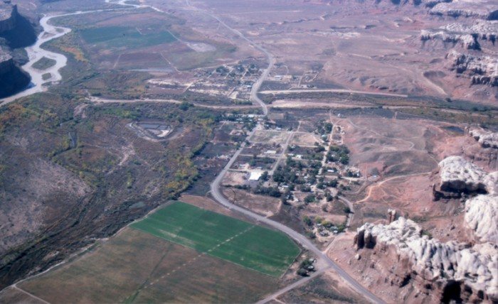
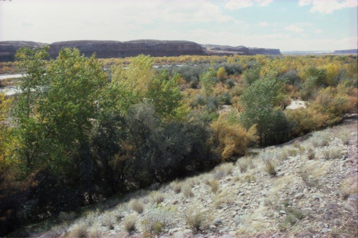
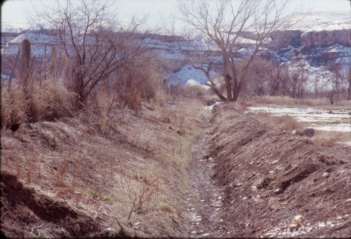
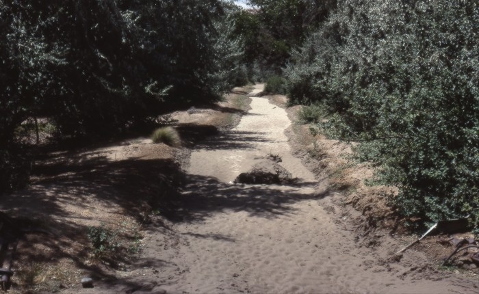
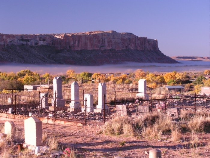
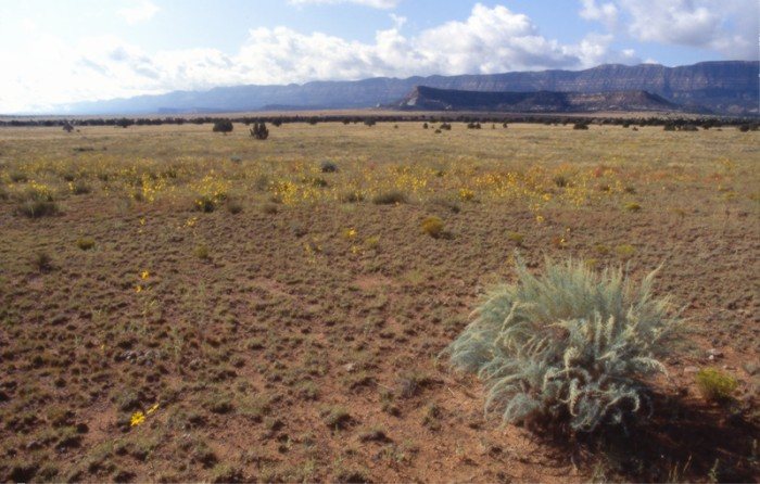
Tuesday, April 13th, 1880. … "The valley is from ½ to 1 mile wide between the sandstone bluffs which rise 300 feet perpendicular, beyond these there are benches partly smooth and otherwise generally covered with grass and 40 miles to the north of us lay the blue mountains the nearest point at which we can reach saw timber."
Platte D. Lyman